
Have you ever looked down the huge cleared strips under the high tension power lines and wondered if it was possible to travel from one place to another by walking or riding in the cleared area? You see these super long cleared spaces and it just seems like that part of the land could be put to better use.
Some cities in America make use of these long right of ways to install parks and multi-use pathways. This is such a great idea. Like putting solar panels on rooftops. It just makes sense.
Anyway, on this particular day, we decided to pick up some Wanderer miles by traveling roads and paths that we had not already logged. If you are not familiar with the app, you can find it at the link above. The app works with our bike app, RideWithGPS, that we use to track our trips. Basically, Wanderer gives you credit for traveling down roads and paths that you have never been down before. It gamifies wandering and exploring to make it more fun to explore your town and beyond. The app works worldwide. Check it out.
We have used Wanderer for almost as long as we have had our bikes and have ridden over 25% of the roads in Auburn and 8% of Lee County. One of the fun things (to some) about the app is that it shows you where you have ridden and where you have not. So, inevitably, you end up with small segments of roads that you missed when trying to cover an entire area. Like missing one street in a huge subdivision.
This can be fun if you learn to route you rides before going. We usually find these small parts that we missed and try to connect them somehow with other missed sections, or with new sections for the outing we are trying to cover. It makes it a game to see how much of your city, county, state, or country you can cover with your bike, or hiking if you prefer.
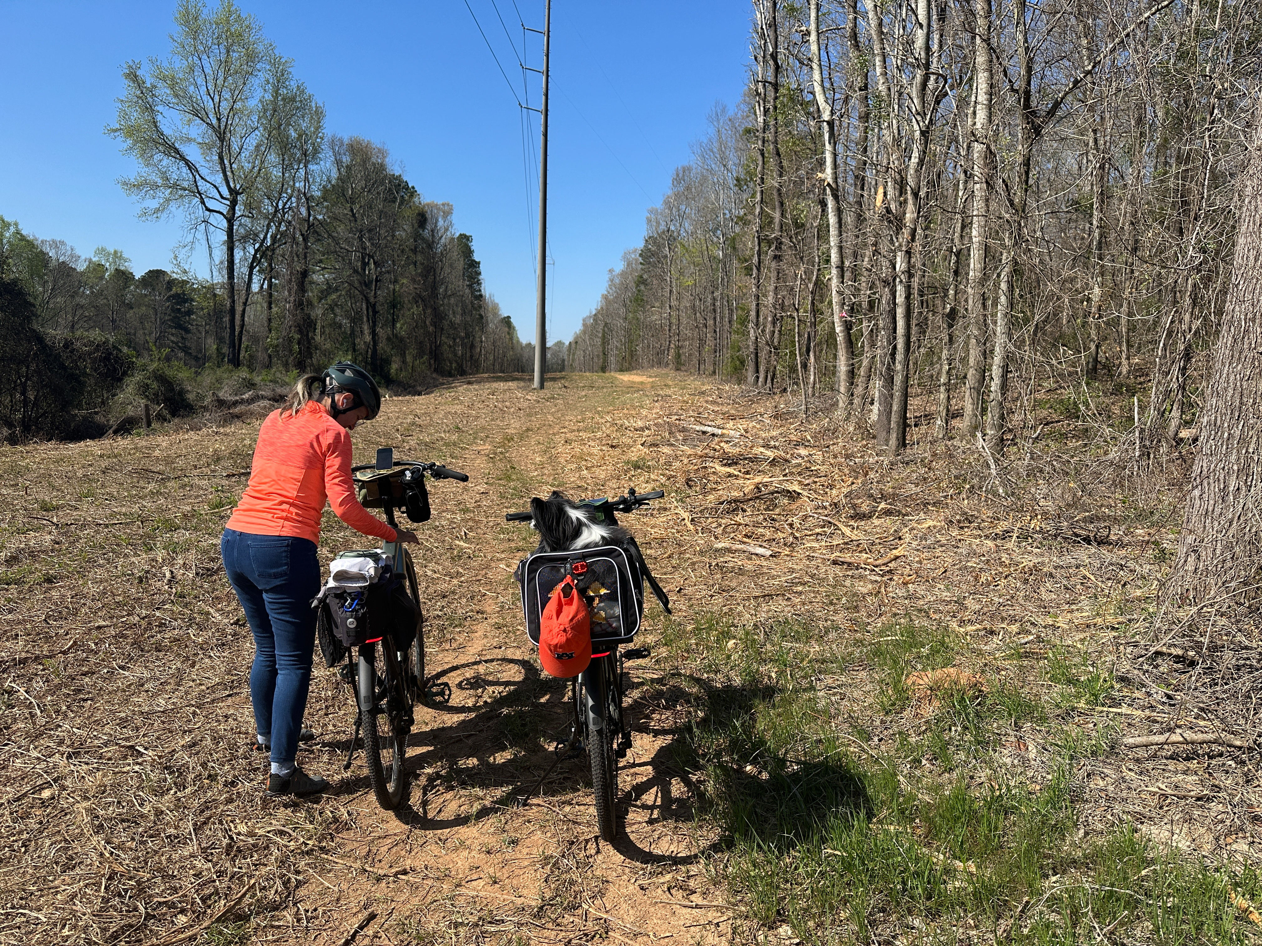
On this day, we rode the few segments that we had missed in one subdivision and then we found this right of way that would get us over to a new subdivision where we wanted to log new miles. It was a super way to get from one to the other. Most of it was rideable, there were a few deep ruts from recent rains that we had to hike it, but overall, it was easy.
As we travel in the future, I will always continue to look down these right of way strips and wonder, where do they go and why isn’t there a bike path under them. Obviously, there are safety, security, and financial reasons for not utilizing this space, but when the powers that be can make it happen, it is a fantastic way to enhance the community for all.


Ride with GPS Route
Below is the embed for our actual Ride with GPS profile ride from this trip, you can click on the title for more details.
